Géoportail Cartographique National

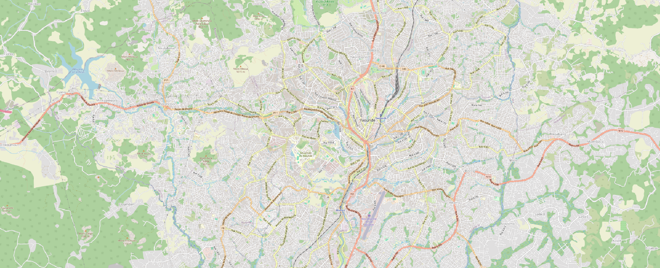
City guide maps are detailed maps of urban areas that provide information on streets, roads, buildings, parks and places of interest in a given city.

An aerial photograph is an image taken from a plane or drone flying over the Earth's surface.

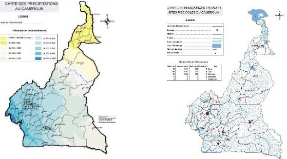
The base map of Cameroon is a basic cartographic representation of the country showing the essential geographical information
Discover...
Interactive map
Une carte interactive est une représentation géographique numérique qui permet aux utilisateurs d’interagir avec les données présentées de manière dynamique. La carte interactive offre des fonctionnalités permettant de zoomer, de cliquer sur des éléments pour obtenir plus d’informations, et souvent d’afficher des couches de données supplémentaire
Geocatalogue
Un géocatalogue est une base de donnée organisée qui contient des informations sur des ensembles de données géospatiales. Il s’agit d’un outil essentiel pour les gestionnaires de données, les chercheurs, les urbanistes, et autre professionnels travaillant avec des données géospatiales
More information

Objectives
- To contribute to the establishment of an information system that improves knowledge of the national territory and guides the actions of the various development players.
- To ensure the sustainability of performance and improve the institutional framework of development players, as part of a wider drive to modernise the State's production apparatus.
- Remedy the lack of awareness of the human, physical and economic potential of the country's various regions.
- Take account of the specific characteristics of different types of customer.

Missions
- Produce plans and thematic maps at the request of users.
- To coordinate geographical research throughout the national territory.
- Drawing up, updating and publishing topographical maps.
- Participating in technical viability and feasibility studies prior to major development projects likely to cause nuisance.
- Produce and update thematic maps such as road maps, administrative maps and city guide maps.
Actualités

Photographie aérienne Introduction Une photographie aérienne est une image pris depuis un avion ou un drone qui survole la surface…

Introduction La carte de base du Cameroun est une représentation cartographique de base du pays qui présente les informations géographiques…
